Saturday 09.02.13. Nearly two years post 22 February 2011 Quake, I had another look at Avondale residential red-zone. En route, I stopped at Carlton Mill Rd & took pics of a multi-storey apartment block being demolished, ghost-apartments since that Quake. A SMF-cordon threat-sign:
HAZARD AREA
RESTRICTED AREA
AUTHORISED PERSONNEL ONLY

09.02.13. Steel mesh fence cordon. Flats demolition site, tagging, Carlton Mill Rd

09.02.13. Workmen. Steel mesh fence cordon. Yellow pump. Orange crane. Orange, plastic, road cones. Flats demolition, Carlton Mill Rd


Avonside Dr: I parked on a ruined roadside near Avondale Rd Bridge which was SMF-cordoned for SCIRT repairs. Scullers rowed on Avon River at Kerrs Reach while their coaches cycled the stopbank calling scullers with loudhailers. I saw red-zone ghost-housing on both river banks.

09.02.13. Avonside Dr view, Avon scullers, Kerrs Reach. New Brighton Rd, opp bank


Post-quakes, Avon River reclaimed its swampland where broken-houses rotted. Across Avon River in the Horseshoe Lake area I saw residential red- zoned ghost-houses. Avondale by Avon River was similar swampland.

09.02.13. Orange digger. Red zone house demolition site, Avonside Dr, Avondale

09.02.13. Avonside Dr view, SCIRT repairs, Avondale Rd Bridge left


09.02.13. Tagging, red zone abandoned house, Avonside Dr, Avondale

09.02.13. Tagging, red zone, abandoned house, Avonside Dr, Avondale
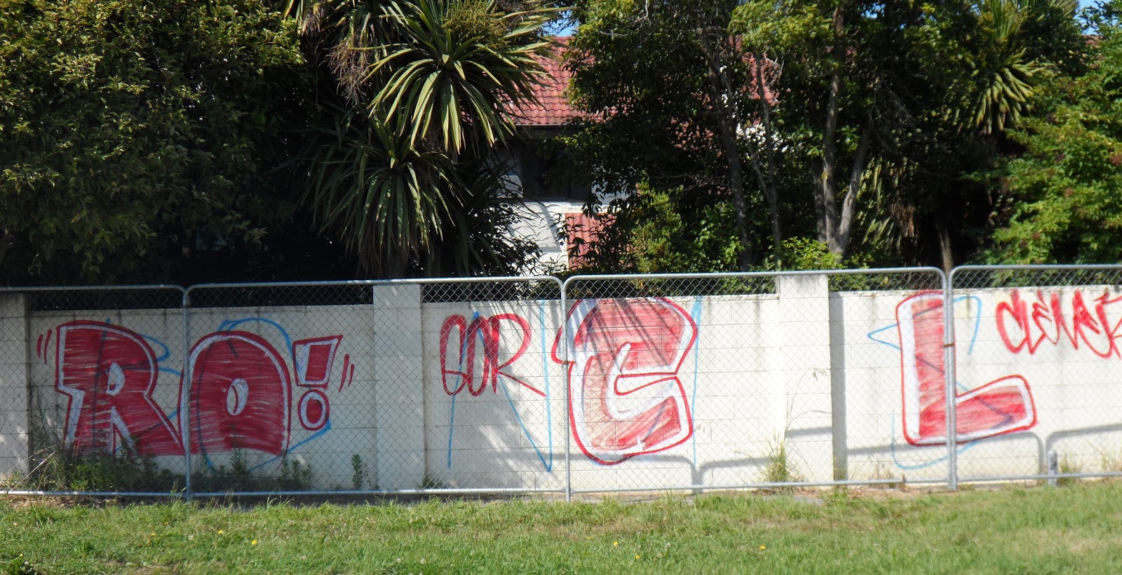

09.02.13. Steel mesh fence cordon. DANGER sign, tagging, red zone, house demolition site, Avonside Dr, Avondale

09.02.13. Tagging, red zone, abandoned house, Avonside Dr, Avondale

CERA became the new Crown owner of Avondale residential red-zone land. CERA proclaimed the red-zone as ugly wasteland: weedy, grassy, fire hazard, a mess. So Far, CERA hadn't said what it would do with the residential red-zone land it took. Never mind green-zoners living near red- zone wasteland, their property values affected by red-zone proximity.

09.02.13. Red zone abandoned house, Alloway St / Avonside Dr, Avondale. Avon River stopbank right

09.02.13. Weedy, red zone, house demolition site, Alloway St, Avondale

09.02.13. Tagging, red zone, abandoned house, Alloway St, Avondale


09.02.13. Tagging, red zone, abandoned house, Alloway St / Avondale Rd, Avondale

09.02.13. Avonside Dr view, Avon scullers passing New Brighton Rd repairs, Horseshoe Lake outlet

CERA was determined to take all residential red-zone land it proclaimed with two Crown offers: 1. The Crown Offer at 2007 Rateable Value for house & land, the Crown taking over the house's insurance policy. 2. The Crown Offer for land only, homeowner negotiating with insurer for house payout. Either way, the Crown got all residential red-zone land CERA decreed.

09.02.13. Red zone, demolition site, abandoned housing, Prestwick St / Avonside Dr, Avondale. Avon River stopbank right

09.02.13. Tagging, red zone, abandoned house, Prestwick St, Avondale

09.02.13. Mowed house demolition sites, red zone, Prestwick St, Avondale

09.02.13. Overgrown garden, red zone, abandoned house, Prestwick St, Avondale

09.02.13. Red zone, Avonside Dr view, Avon scullers, Avondale. Red zone abandoned housing, New Brighton Rd, opp bank. The houses would be demolished by CERA

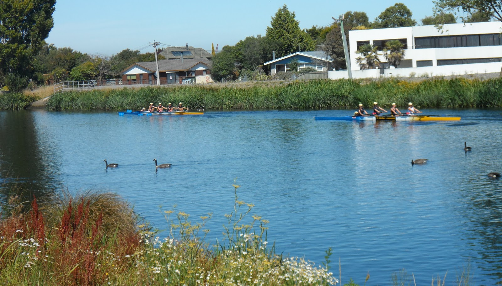
09.02.13. Red zone, Avonside Dr view, Avon scullers, Avondale. Red zone, abandoned housing, Locksley Ave, opp bank. The houses would be demolished by CERA

I trekked the residential red-zone between Avonside Dr & Avondale Rd, zigzagging along side streets from Avondale Rd Bridge to Christs College Rowing club, which was rebuilt as a green shed at Kerrs Reach.
On CERA's wasteland I saw hardy flowers amongst weeds: roses, cannas, red hot pokers, agapanthus, hydrangeas. I snapped pink lilies on a verge by a BP-water-pipe on Avonside Dr. Minutes later a maroon car stopped & a fat woman got out & stole the lilies!

09.02.13. Blue, plastic, water pipe. Red zone, house demolition sites, Woolley St / Avonside Dr, Avondale. Avon River stopbank right

09.02.13. Earthquake Contacts sign, red zone, Woolley St, Avondale

09.02.13. Tagging, red zone, house fence sign, Avonside Dr, Avondale
Insurers & CERA had demolished many red-zoned ghost-houses since I last trekked Avondale. Demolished lots became weedy fire hazards. Some mowing was done on verges & demolition-lots. Most lots had long grass & weeds, particularly side-roads where grass & weeds grew up to window height on abandoned houses. Where ghost-houses still stood on red-zone land little mowing was done. CERA still had many demolitions to do.

09.02.13. Quake tilted power poles. Red zone, house demolition site, abandoned house, Sharlick St / Avonside Dr, Avondale. Avon River stopbank right

09.02.13. Red zone, 30 km/h speed limit sign, Sharlick St / Avondale Rd. Red zone, abandoned house behind would be demolished by CERA
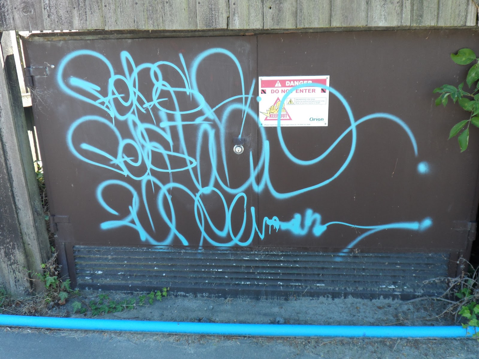
09.02.13. Red zone, blue, plastic, water pipe, tagging, Sharlick St, Avondale
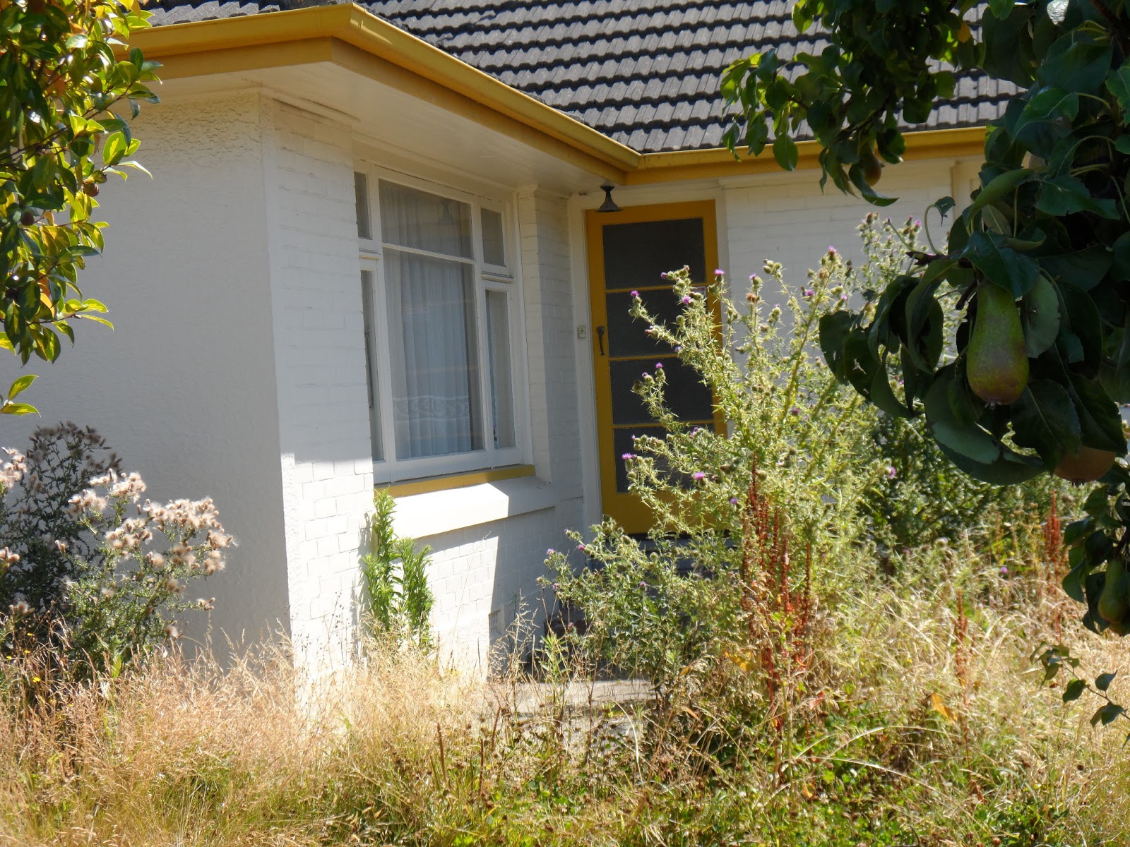
09.02.13. Red zone, overgrown garden, abandoned house, Sharlick St, Avondale
A blue-taped house-window admonition:
PLEASE BE
GENTLE I
WAS ONCE
A
HOME (blue heart pic)

09.02.13. Mowed, red zone garden, window sign, abandoned house, Sharlick St, Avondale

09.02.13. Orange, plastic, road cones. Red zone, orange digger, blue truck, house demolition site, Sharlick St / Avondale Rd, Avondale. Abandoned house beyond would be demolished by CERA

09.02.13. Mowed lawn, tagging, red zone, abandoned house, Avonside Dr, Avondale. The house would be demolished by CERA


09.02.13. Red zone, Edna St / Avonside Dr. Avon River stopbank right
I didn't snap many ghost-houses, already done a year before. In places CERA-demolitions were so extensive, I saw right across weedy lots from one side-road to another.

09.02.13. 30km/h speed limit sign. Red zone, Niven St / Avonside Dr, Avondale. Avon River stopbank & Locksley Ave, red zone, abandoned housing beyond. The houses would be demolished by CERA

09.02.13. Red zone, house demolition site, tagging, red zone, abandoned house, Niven St, Avondale. The house would be demolished by CERA

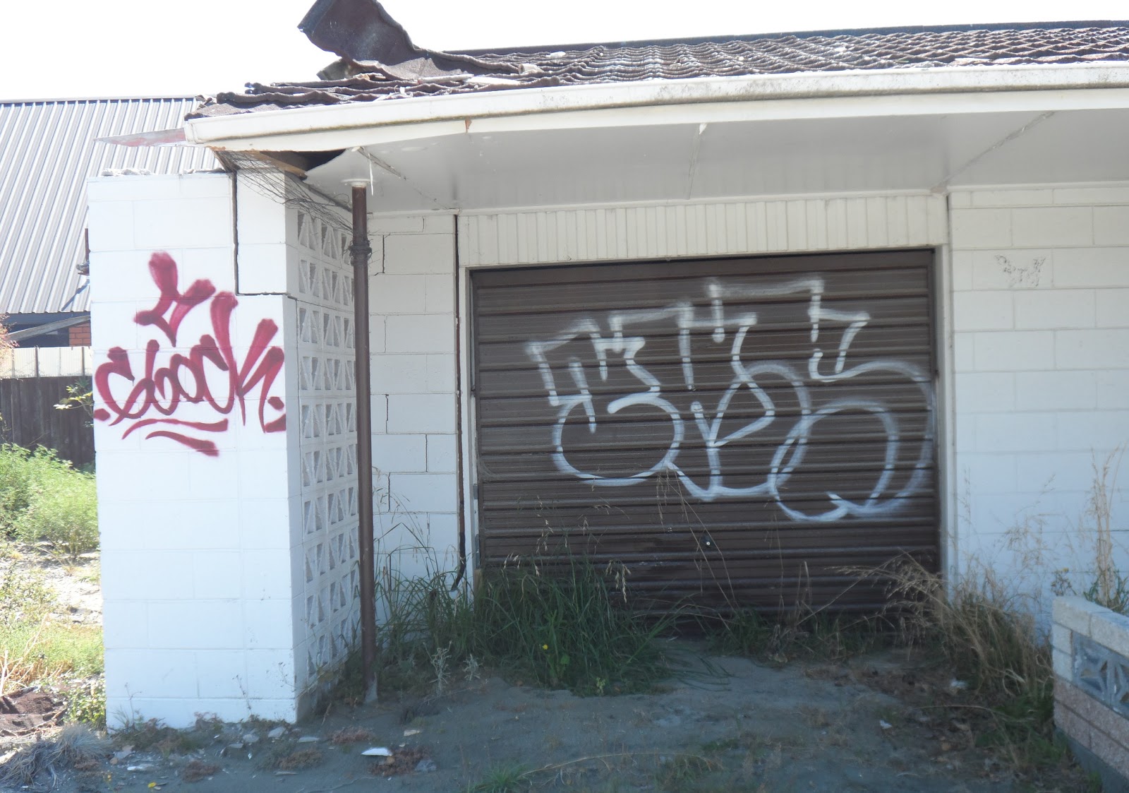


09.02.13. Red zone, blue, plastic, water pipe, tagging, Niven St, Avondale

09.02.13. Red zone, 50 km/h speed limit sign, Niven St, Avondale

09.02.13. Tagging, red zone, abandoned house, Niven St, Avondale

09.02.13. Red zone, house demolition site, tagging, red zone house fence, Avonside Dr, Avondale
I did snap tagging on red-zone ghost-housing awaiting CERA-demolitions: tagging on Avonside Dr ghost-houses & some Avondale Rd ghost- houses. Taggers were too lazy to walk side roads. Tagging all over town indicated abandoned buildings.

09.02.13. Quake tilted power pole. Red zone, Breezes Rd / Avonside Dr, Avondale. Avon stopbank & red zone, Locksley Ave beyond
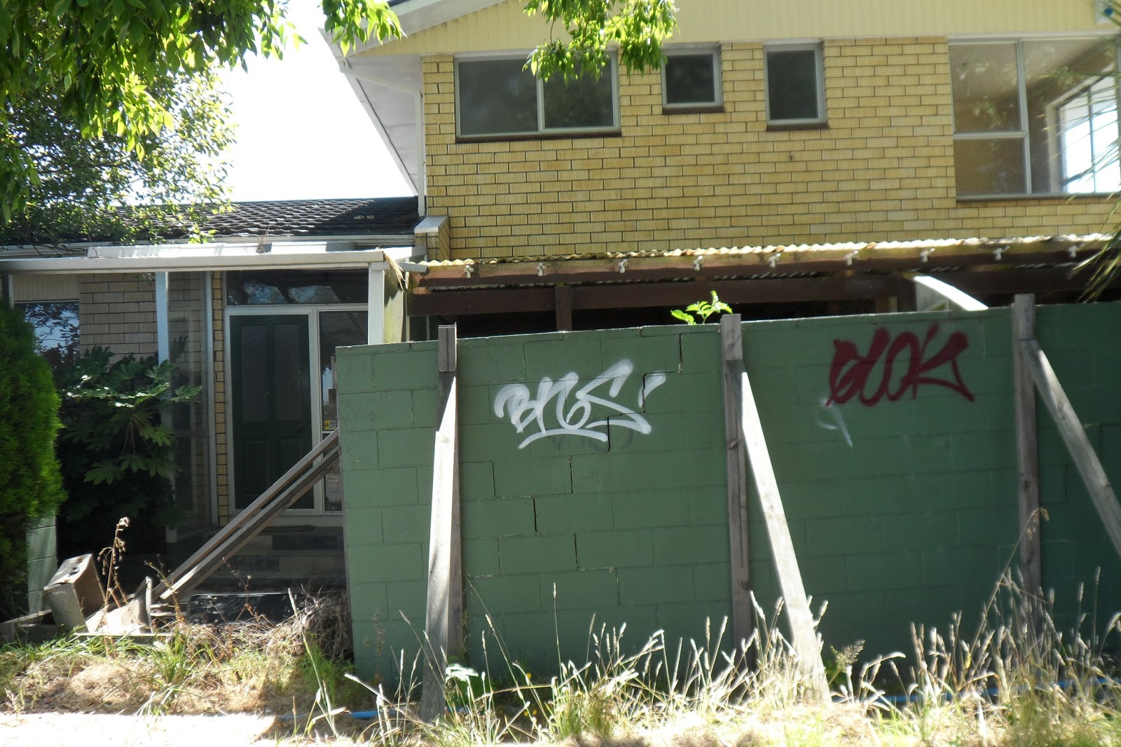
09.02.13. Wood braced garden wall. Tagging, red zone, abandoned house, Breezes Rd, Avondale. The house would be demolished by CERA.

09.02.13. Blue, plastic, water pipe, red zone, abandoned housing, Breezes Rd, Avondale. The houses would be demolished by CERA

09.02.13. Hazard board, steel mesh fence cordon, red zone, abandoned house, awaited demolition by CERA, Breezes Rd, Avondale

09.02.13. Red zone, abandoned business, Breezes Rd, Avondale

09.02.13. Tagging, fence by red zone, house demolition site, Avonside Dr, Avondale


CERA had green, spray-painted HM letters with a green-tick on top of the M on every red-zone house. Never mind green-stickers on front windows showing electricity cut off. That was open invitation for taggers & vagrants & thieves!

09.02.13. Tagging on fence, red zone, abandoned house, Avonside Dr, Avondale. The house would be demolished by CERA
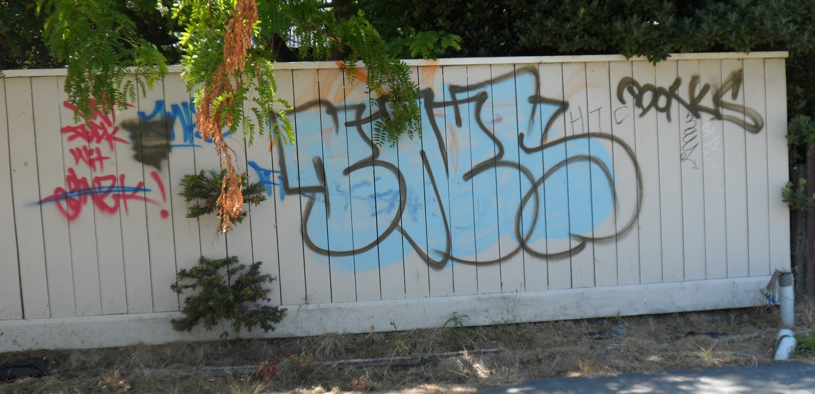

Some ghost-houses ready for CERA-demolitions had SMF-cordons. One Hazard board read ASBESTOS. How much asbestos-dust floated in the air & in Avonside ponding? Dried, grey quakemire heaps still lay on footpaths.

09.02.13. Tagging, red zone, abandoned house, Avonside Dr, Avondale. The house would be demolished by CERA


The footbridge over Porritt Park stream to rebuilt Christ's College Rowing Club's green-shed was gone, demolished. A new two-lane footbridge would be built.

09.02.13. Avonside Dr, stopbank view, post quakes, rebuilt, Christ's College Rowing club, Avondale
Wainoni Rd: I saw tagged shops near Bickerton St junction opposite Porritt Park: Closed surgery wall, window, rubbish bin, tagged. Fish & Chips shop side-wall, tagged. Other shops windows, tags etched on glass. Yellow building on Bickerton St corner, tagged. Avonside Dr: Tags on several ghost-houses opposite Porritt Park.


09.02.13. SIDE ROAD CLOSED. Tagged road sign & power pole, Wainoni Rd


09.02.13. Tagged red zone surgery, Wainoni Rd


09.02.13. Tagged Fish & Chips shop wall, Wainoni Rd


09.02.13. Tagged business, Bickerton St / Wainoni Rd


09.02.13. Tagged, abandoned, red zone house, Avonside Dr, opp Porritt Park. The house would be demolished by CERA


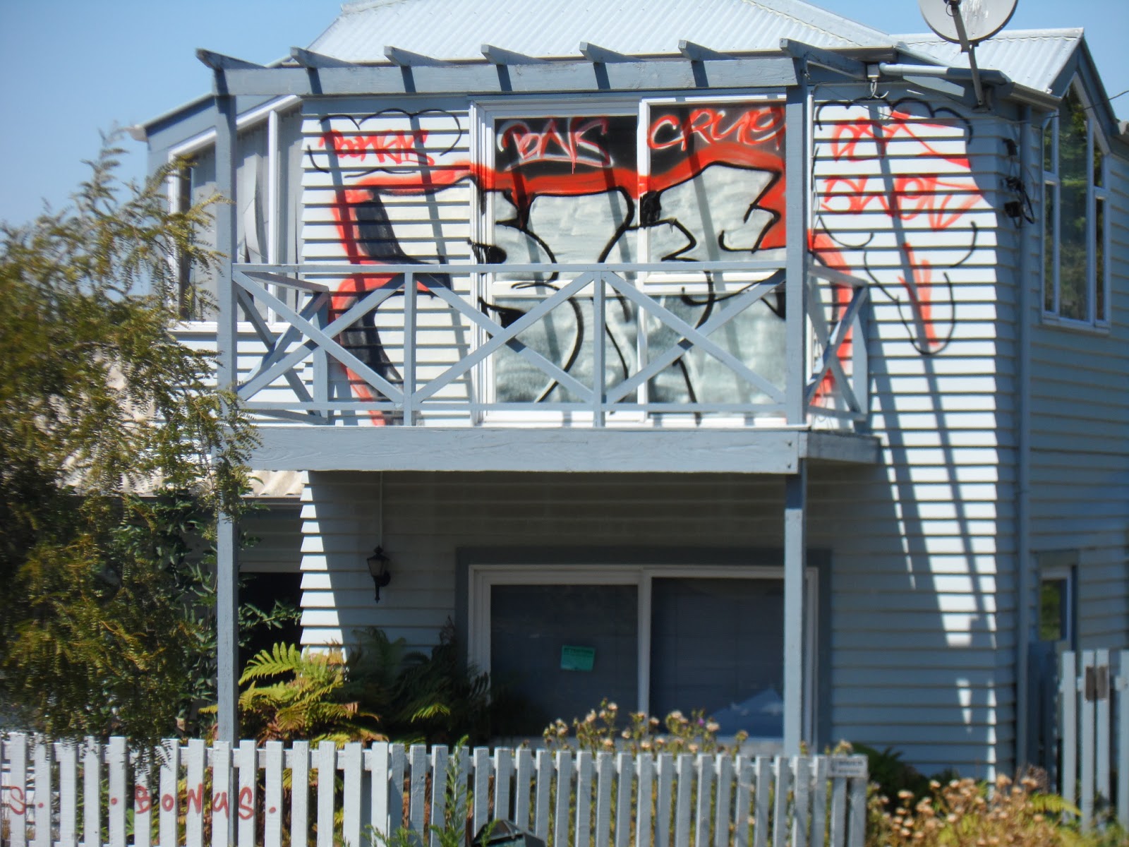

09.02.13. Tagged, abandoned, red zone house, Avonside Dr, nr Snell Pl, demolished footbridge. The house would be demolished by CERA


I crossed Avon River via damaged Gayhurst Rd Bridge. I saw trashed swampland on Locksley Ave, like Avonside Dr swampland on the opposite bank, also red-zoned. Locksley Ave had less tagging, verges & demolished lots in better mown condition. Snell Pl Footbridge was gone, demolished. Just two concrete abutment-stumps were left on Avon River banks.

09.02.13. Red zone, weedy, house demolition site, tagged, abandoned house, Locksley Ave, nr Gayhurst Rd Bridge. The house would be demolished by CERA

09.02.13. Quake trashed, abandoned, red zone house, Snell Pl / Locksley Ave. The house would be demolished by CERA

09.02.13. Steel mesh fence cordon. Red zone tagging by abutment stump, demolished Snell Pl Footbridge, Avon River


09.02.13. Red zone, abandoned house, Locksley Ave, awaited demo by CERA

09.02.13. Tagging, red zone house fence, Locksley Ave

09.02.13. Red zone tagging, green, plastic, sewage tank, Locksley Ave

09.02.13. Red zone tagging, Locksley Ave

Locksley Ave / New Brighton Rd junction: I parked under a tree by the stopbank. Whenever I drove along New Brighton Rd, I saw Avon River's reclaimed swampland. Quakes sunk the road by Locksley Ave junction causing Avon River ponding &high tide, water seepage. One roadside demolition-lot had a stagnant pond with mature reeds growing in the pond. I saw sad swamp housing behind towards Horseshoe Lake, also residential red-zoned by CERA.

09.02.13. Painted over tagging, red zone, abandoned house, Locksley Ave / New Brighton Rd. The house would be demolished by CERA


09.02.13. Orange, plastic, road cones. Red zone tagging, abandoned house, New Brighton Rd, awaited CERA demolition

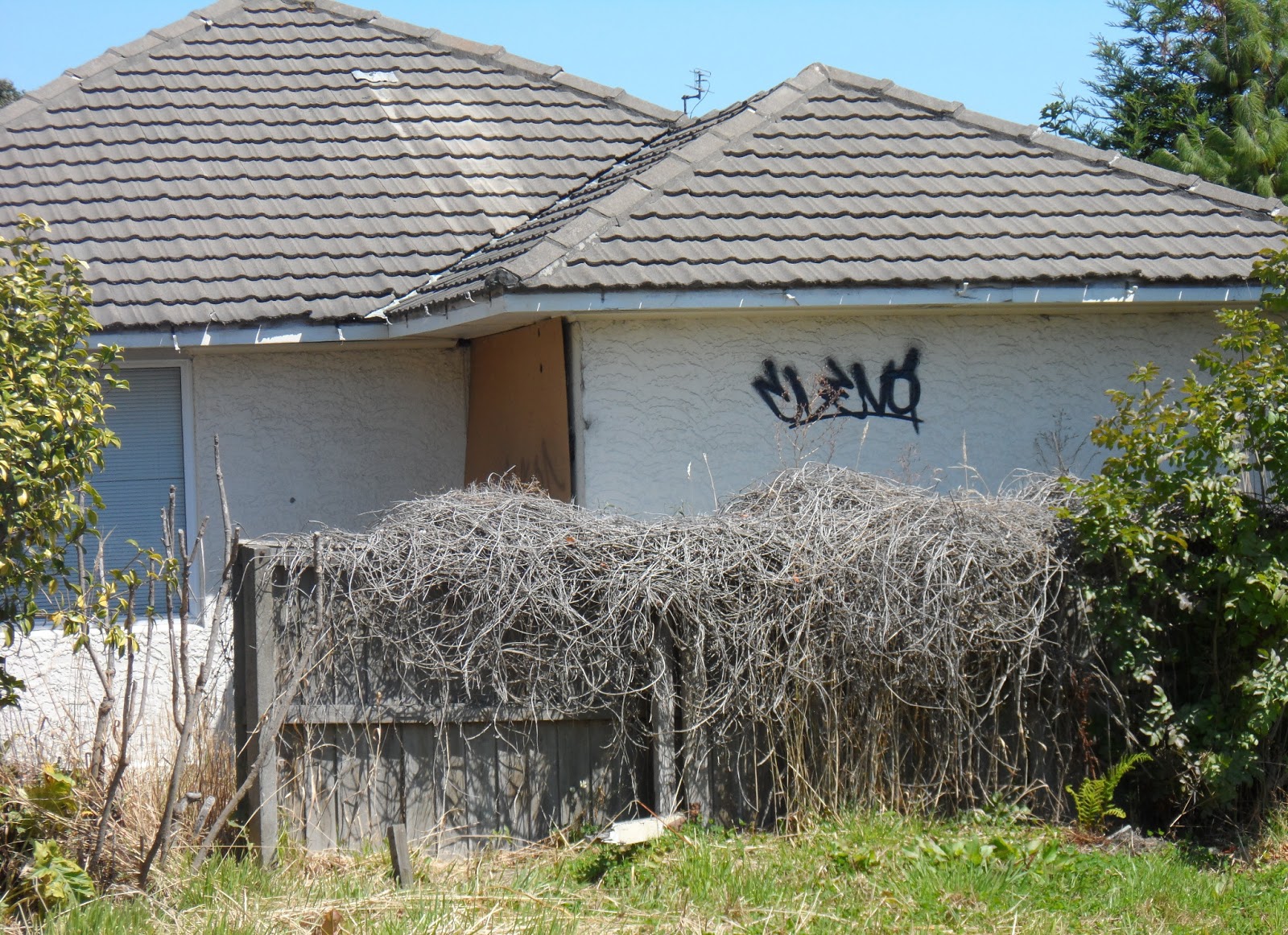
New Brighton Rd: By ponding near a road detour next to several tagged ghost-houses I saw the usual SCIRT mess: a SMF-cordon, detour signs, an OPRC-cordon, tar-patching, excavation machines, Hi-Vis vested workmen standing around SUPER SILENT road-pumps & pipes. Since SCIRT took over infrastructure renewal Christchurch became Detour City. Every week I drove along new detours near SCIRT excavations!

09.02.13. White / orange, plastic bollard cordon. Red zone tagging, abandoned housing, New Brighton Rd, awaited CERA demolitions

09.02.13. Avon River seepage, ponding on red zone, demolition site, New Brighton Rd. The red zone housing would be demolished by CERA


09.02.13. Orange, plastic, road cones, white / orange, plastic bollard cordon. Avon River ponding, middle of New Brighton Rd, nr Locksley Ave junction. Avon River, stopbank right


09.02.13. White / orange, plastic bollard cordon. Tagging, red zone, abandoned house, New Brighton Rd, awaited CERA demolition
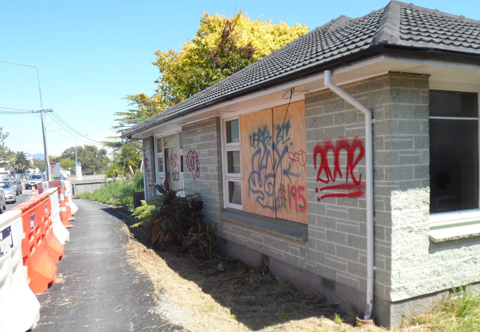

09.02.13. Red zone, abandoned housing, New Brighton Rd, awaited demo by CERA

09.02.13. White / orange, plastic bollard cordon. Tagging, red zone, abandoned house, New Brighton Rd, awaited demo by CERA


Given the tagging I saw on red-zone ghost-housing on New Brighton Rd, taggers ignored CERA threat-signs:
CERA
NO AUTHORISED ACCESS
NO DUMPING

09.02.13. CERA sign, tagging, red zone, abandoned house, New Brighton Rd, awaited demo by CERA


09.02.13. Lost hubcaps, steel fence cordon, red zone, abandoned house, New Brighton Rd. The house would be demolished by CERA

09.02.13. Tagging, red zone fence, New Brighton Rd


09.02.13. Tagging, white, plastic sandbags, New Brighton Rd, nr Horseshoe Lake outlet
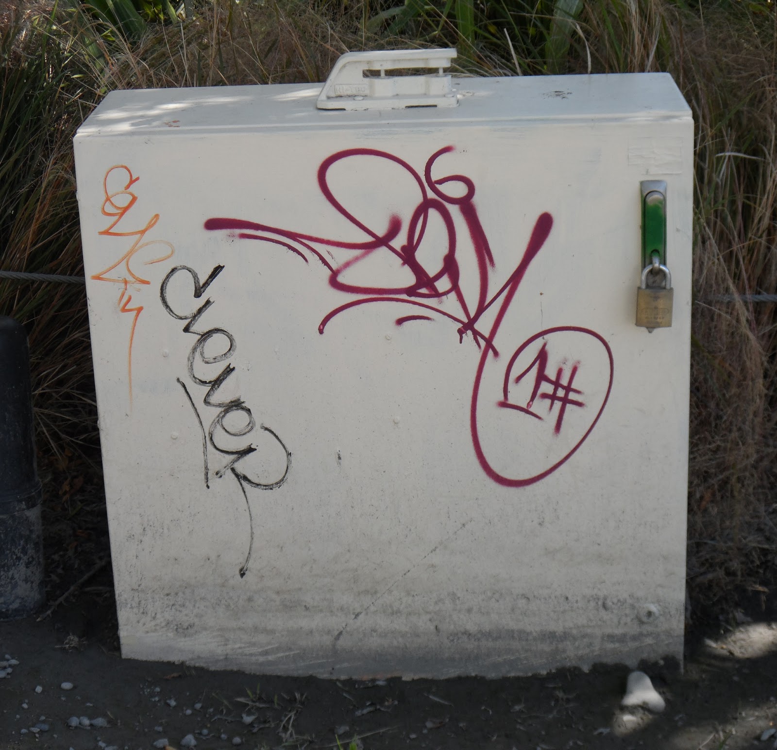
I trekked the detour footpath while snapping tagged ghost-housing up to Horseshoe Lake's pump-station outlet. On a SMF-cordon six lost hubcaps hung, showing road bumpiness. Workmen wearing orange Hi-Vis vests chomped their lunches while seated on white-plastic sandbags under a willow on Avon River bank. They pumped water from below ruined New Brighton Rd into Horseshoe Lake outlet.

09.02.13. Red zone, Horseshoe Lake, pump station, New Brighton Rd


09.02.13. Green pumps, orange, plastic, road cones, red zone, Horseshoe Lake outlet, New Brighton Rd. Avondale red zone beyond Avon River


09.02.13. Water pumped from below quake trashed New Brighton Rd flowing into Horseshoe Lake outlet
Kerrs Reach: Avon River rolled on & scullers still sculled past red-zone ghost-housing which awaited CERA-demolitions.

09.02.13. New Brighton Rd, red zone view, scullers, Kerrs Reach, Avon River. Avondale red zone, abandoned housing beyond, awaited demolitions by CERA

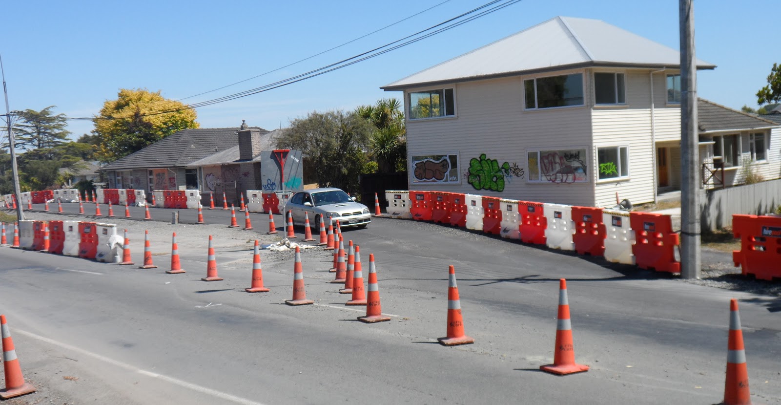
09.02.13. Orange, plastic, road cones, white / orange, plastic bollard cordon. SCIRT detour, tagged, abandoned, red zone housing, New Brighton Rd, awaited demolitions by CERA


09.02.13. New Brighton Rd, red zone view, Kerrs Reach, Avon River

09.02.13. New Brighton Rd, red zone view, scullers, Kerrs Reach, Avon River. Avondale abandoned, red zone housing beyond, awaited demolitions by CERA


09.02.13. Orange, plastic, road cones, white / orange, plastic bollard cordon. Avon River, post quake seepage & ponding by tagged, abandoned, red zone house, New Brighton Rd, awaiting demolition by CERA.

Week later, some New Brighton Rd ghost-houses which were whitewashed by CERA were re-tagged by taggers!

09.02.13. Orange, plastic, road cones, SCIRT detour by Avon River ponding on a red zone, house demolition site, New Brighton Rd. The houses would be demolished by CERA


09.02.13. Red zone, New Brighton Rd view, scullers, Kerrs Reach, Avon River. Red zone, abandoned Avondale housing beyond. The houses would be demolished by CERA


Last week, CERA minister Brownlee had a secret meeting with Council, sweet-talking compliant councillors into postponing their 10 year, Long Term Plan for Christchurch until 2015. Meanwhile Council would have a three year plan, cost-sharing with CERA, so that Brownlee could use ratepayers' / taxpayer's money on CERA projects: Blueprint Convention Centre; Blueprint roofed stadium... (Mainland Press 14.02.13).
CERA boasted about progress in its "Greater Christchurch Recovery Update" newsletter: articles by Brownlee & CERA boss Sutton. SCIRT published a column of meaningless statistics. Example, Issue 18 February 2013: "157,464 square metres road pavement laid." SCIRT didn't say if the tarseal was permanent or patches! SCIRT bureaucrats should drive eastern suburb roads to see how funny their statistics were: Detour City, or Pothole City. Take your pick.
More CERA boasting, same newsletter:
"Land Acquisition Update
Christchurch Central Development Unit (CCDU) has settled its first land acquisition deals, [CBD taking] signed two further agreements, and received signed sale and purchase documents from 16 land owners. It has also reached agreement in principle with a further 19 parties.
Minister for Canterbury Earthquake recovery Gerry Brownlee says, 'Negotiations are underway on 177 other properties, some of them well advanced, so altogether CCDU has made progress on 216 CBD sites starting with those of highest priority.'
[Brownlee didn't say if land acquisitions were for CERA / Crown Blueprint buildings or Blueprint Frame land?]
CCDU is well advanced through the planning process for the Convention Centre [worldwide loss makers] and will have all the land cleared by year's end. Clearance of land required for the Metro Sports Facility will begin this year, paving the way for construction in 2014."
The Blueprint Metro Sports Facility wouldn't be built in 2014. In 2016, Metro Sports Facility site near Avon River would still be a vast demolition-site. 2018. There was still no construction of Metro Sports Facility on Crown taken land where Luke had worked near Antigua St. 2019. Construction in progress, after months of pile-driving concrete foundation piles on swampland. 2023. Metro Sports Facility / Parakiore Recreation & Sports Centre & its swimming pools would still be incomplete: Luke told me ground below south side of the vast new building had subsided needing new subterranean concrete-columns to stengthen the soft soil. You wouldn't catch me swimming in the new pools. Imagine the quakemire-carnage in the next big quake!
2015. CERA would still be clearing land for its Blueprint Convention Centre / Te Pae. 2016. The Convention Centre site was still a vast demolition-site. PM Key would worry about cost blowouts for the Convention Centre. Never mind upkeep costs for ratepayers once the Convention Centre was built. 2018-21. The Blueprint Convention Centre would be built, a two-storey, steel, concrete & glass monstrosity bordering the quake-survivor, Issac House, Armagh St by Victoria Sq. High concrete-walls would jut over Gloucester St into Cathedral Sq stopping pre-quake traffic flows along Gloucester St. Buildings like Chancery Ln Arcade, Central Library, Farmers, Craigs House, Victoria Square flats were all demolished by CERA for its Blueprint Convention Centre / Te Pae.
Two years post 22 February 2011 Quake, eastern suburb citizens still existed in ruined-housing on ruined-land while SCIRT, Council, EQC, insurers & CERA dithered.
Wednesday 13.02.13, 4.39pm, M3.6 quake, 8km depth, 15km west of Christchurch (GeoNet). It wobbled my computer chair while it rumbled by. Leah said it shook her London St school.
Friday 15.02.13. One News. Brownlee spin: Wearing a hard hat, Brownlee announced the red-zone-CBD would henceforth be called the Rebuild Zone. Ha! Whenever I looked into red-zone-CBD I saw ruins. I saw few workers there. Weekend Press 16-17.02.13 also boasted figures by Brownlee. Brownlee said NZDF-cordons would be gone by July. Two years post 22 February 2011 Quake, the CBD was still red-zone SMF-cordoned with NZDF- checkpoints guarded by soldiers. Only after 28 months of red-zone military-cordoned CBD-occupation would NZDF-soldiers vamoose & SMF-cordons would be removed & citizens would no longer be banned from the CERA-demolished CBD. Only when rebuild actually happened in the CBD, not planning, nor paltry restorations of some old buildings like in New Regent St & Isaac Theatre Royal could Brownlee call the CBD the Rebuild Zone.
Not much rebuilding nor repairs happened yet in eastern suburbs because EQC & insurers dithered. Taggers took over. Until roads were fixed properly by SCIRT one couldn't boast about rebuild anywhere!br />
MAINZEAL construction Co, contracted to CERA, went into receivership last week. MAINZEAL wasn't the last construction company going into receivership during CERA's tenure. In 2016 STONEWOOD HOMES would go bung too.
*Trekked Carlton Mill Rd, Avonside Dr, Wainoni Rd, Locksley Ave, New Brighton Rd. 154 images.
Content & pics Copyright Mark JS Esslemont.
See Convention Centre project 'pivotal' (The Press / Stuff Co).
See Prime Minister says Christchurch Convention costs prohibitive (The Press / Stuff Co).

Such a wasteland isn't it Mark!
ReplyDeleteI visited my former family home in Niven Street last Christmas - parents moved out in October. In just 2 months of no one there this is what it looked like.
http://www.flickr.com/photos/porkynz/sets/72157632148236151/
I'm going back there in a couple of weeks time to take more comparison pics...i'm surprised it's not been demolished yet.
Great post again! Oh...and that fish and chip shop in Wainoni Road you mention, has the BEST fish and chips ever :) give them a try!
Cheers
Sandy
Will definitely try the Fish & Chips shop Sandy. Always looking for the BEST chips. Huge number of house demolitions over the last year in Avondale. Niven St still has some green zone housing, but it would be awful living there, with all the fire, dust, burglar & vandal hazards. CERA housing demolitions seem random, no special order. Mostly empty, weedy sites now. Amazing how quickly vegetation took over. I think you'll be shocked at changes when you visit. Summery dry at the mo. But Avon River just rolls on...
ReplyDeleteLOL you and me both re the best chippie! I'm sadly disappointed in Auckland's lot I can tell you!
ReplyDeleteIndeed it was one of those horrible situations for many streets running off Avondale Road. Avondale Road being the deciding factor for the line to stay line to go option. I'd be gutted if I was in the other half of the street that remained, although we can't imagine it yet, but it may look rather nice and snazzy once all the landscaping etc is done but currently it just looks pants :( Here is Avondale Road & [Green zoned] section of Niven street hours post quake...suffered a much as the red zoned section. http://www.flickr.com/photos/porkynz/5469383473/in/photostream/
I get down regularly so not overly shocked at the overall condition of the area, just saddened really. It was lovely a the end of last year though to see the rowers back on the river and a feeling of some 'normalcy' along the river.
Cheers!
S
Thanks for the pic views. Very sad Sandy. All those ghost houses still awaiting demolitions. Yet further upriver Kerrs Reach rowing clubhouses are almost completely rebuilt, so rowing is going strong. Hopefully CERA / Council will come up with plans to beautify the area again. At the mo they're transfixed by the CBD rebuild which isn't happening yet. CBD is still red zone cordoned with ongoing demolitions.
ReplyDelete